Not just Drones!
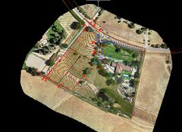
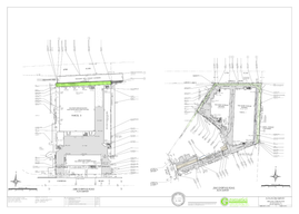
As a Licensed Land Surveyor, Eric can give you more than just a pretty picture and point cloud. We can survey the boundary, plot the easements, write a legal description, and stake out any proposed improvements.

Construction Staking
We have GPS and Robotic equipment to provide you with construction staking servies.

Topographic Surveys
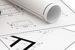
If possible, we will use our drone to keep costs down. However, we have GPS, RTK, Robotic Total stations and High Definition Laser Scanners to complete any as-built and topographic surveying needs.

Boundary Surveys
Boundary surveys for fencing, walls, and setback verification or disputes.

High Definition Laser Scans
We can produce a point cloud of a structure that is highly accurate and use the drone to capture the surrounding area at a cost savings even for scans!
We need your consent to load the translations
We use a third-party service to translate the website content that may collect data about your activity. Please review the details in the privacy policy and accept the service to view the translations.


